

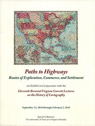
Paths to Highways: Routes of Exploration, Settlement, and Commerce
Abstract
One of many important functions of maps can be the depiction of trails, routes, roads, and highways. Trails may appear bold or almost invisible on a map, depending upon whether the cartographer's aim for such depictions is primary, secondary, or even just an afterthought. The study of how trails either became a part of the landscape as superhighways or were entirely forgotten can begin with old maps. A focus on depictions of trails, routes, roads, and highways as a function of maps also aids in a greater understanding of the maps themselves, their creators, and the history of the times that surrounded them. But one should always keep in mind that maps are often only a small fraction of the tools needed to thoroughly study a trail, road, or highway. In addition to maps and history, personal field surveys and archaeology are often both key to a more comprehensive understanding.